Use the following to search across all the cemeteries listed.
Example: "Smith, Roger" (yes, use the quotes)
- 006 FAIRMOUNT UNITED METHODIST CHURCH

Location - 266 Fairmount Rd, about 0.6 mile west of Hwy 21 Turnersburg Hwy, Statesville.
Coordinates: 35d 54m 08.6s N; 80d 50m 12.5s W Click here for Online Maps
- 004 HOLLY SPRINGS BAPTIST CHURCH

Location - on Houstonville Rd about 2 miles west of Hwy 21 between Ivydale Rd and Rabbit Hwy.
Coordinates: 35d 59m 56.6s N; 80d 46m 58.6s W Click here for Online Maps
- 003 HOUSTONVILLE BAPTIST CHURCH
Location - at 127 W. Houstonville Rd just west of US Hwy 21, Harmony.
Coordinates: 36d 00m 09.5s N; 80d 46m 05.3s W Click here for Online Maps
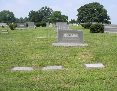
- 001 IREDELL MEMORIAL GARDENS
Location - 2304 Shelton Ave, Hwy 21, Statesville.
Coordinates: 35d 44m 23.9s N; 80d 53m 57.4s W Click here for Online Maps
- 002 OAKWOOD CEMETERY
Location - on Oakwood Drive between E Broad St and Davie Ave, Statesville.
Coordinates: 35d 47m 26.1s N; 80d 52m 32.0s W Click here for Online Maps
- 005 POWELL FAMILY
Location - off of 332 Hamlet Rd, Eagle Mills Township.
Coordinates: 35d 58m 32.3s N; 80d 42m 56.5s W Click here for Online Maps
Web page updated 20 April 2021
|
|
 |